Overall layout of the Martinborough Fair.
The map below has links that will allow you to view the detailed stall layout maps of each of the sectors
Note that North is at the bottom left corner of the map
Our fair has between 450 and 520 stalls laid out around the town in sectors that have each been allocated 2-letter identifiers. (OX, CA, QE etc)
The stall sites are either 6 metres x 3 metres, or 3 metres by 3 metres where possible.
The maps are not cartographically correct - they are a near approximation of the layout and sizes cannot be accurately inferred from them.
- CA = Cambridge Street
- JE = Jellicoe Street
- KI = Kitchener Street
- KS - Kansas Street South
- MN = Memorial drive North
- MS = Memorial drive South
- ME = Memorial drive East
- MW = Memorial drive West
- MT = Mitre 10 carpark
- ON = Ohio Street North
- OX = Oxford Street
- QN = Quadrant North
- QS = Quadrant South
- QE = Quadrant East
- QW = Quadrant West.
- TE = Texas Street East
- TW = Texas Street West
Stalls are identified with a 2-letter identifier and the 2-digit number that relates to the stall's position within its sector. (e.g. OX21 = site 21 in Oxford Street). Each sector's sites are numbered from 00 to 99, so each sector will use the same range of numbers, but will have a different identifier (e.g. CA21 vs MN21)
Areas that are split into quadrants include the compass heading e.g. N for North, E for East etc.
This applies to the central square (QN, QE etc) and the memorial drive encircling it (MN, ME etc). We have used this nomenclature for the diagonal streets Kansas and texas that occur on both sides of the square (KN and KE etc., and TN and TE etc.) and for Ohio Street
There are around 100 sites in the central grassed area (The Quadrant), another 200 around Memorial Drive (ME, MS, MN and MW) and a further 20 - 100 or so down each street radiating from Memorial Drive.
In the quadrant ( QN, QS, QE, QW) sites may be drawn on the maps as 6x3, but if there is a tree or other obstruction on the site, it may be classified as 3x3.
In addition, some sites in the square might not be suitable for erecting Gazebos - if you need to use a tent, please let us know so we can try to ensure it will fit. If you get there on the day and we find a tree branch is hanging in the way, don't panic - find a marshal and explain the problem; we will try to reposition you.
To view a detailed stall layout map of a sector, tap or click on the blue links on this map. (Small mobile phones may need to view this map in landscape mode to access the tap-links)

Map symbols
 Change window - Stallholders can get change for large denomination notes.
 Information Kiosk - Fair and Stall information, Lost property, Public address, and information about Rotary
 Water - Tap water or drinking water.
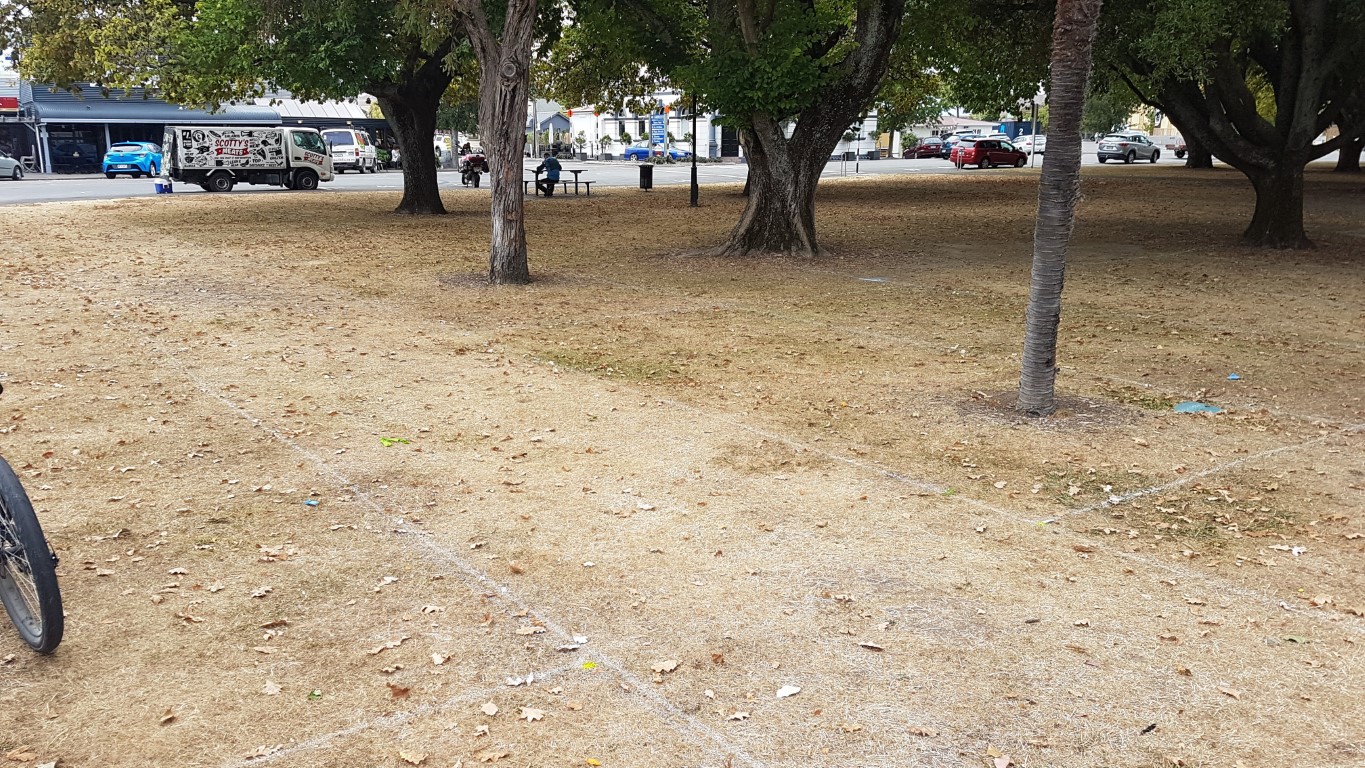
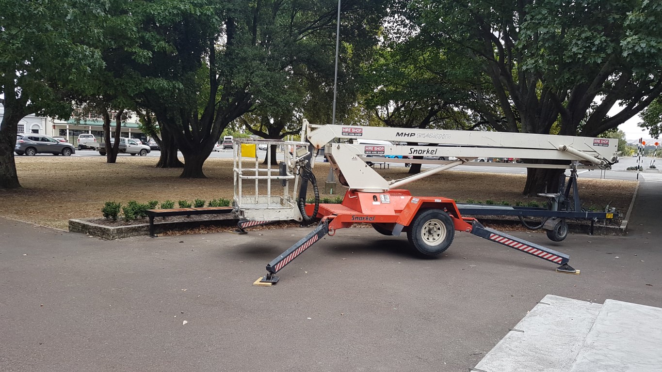
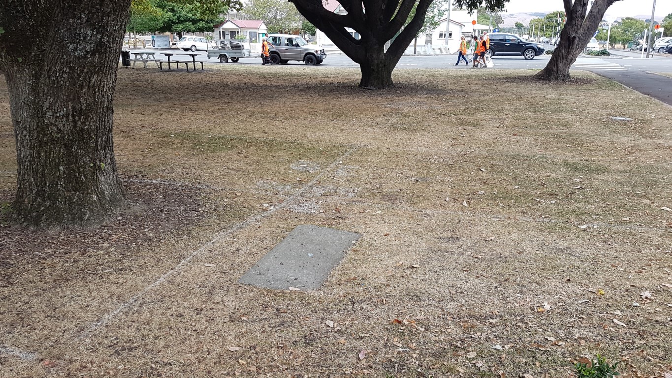
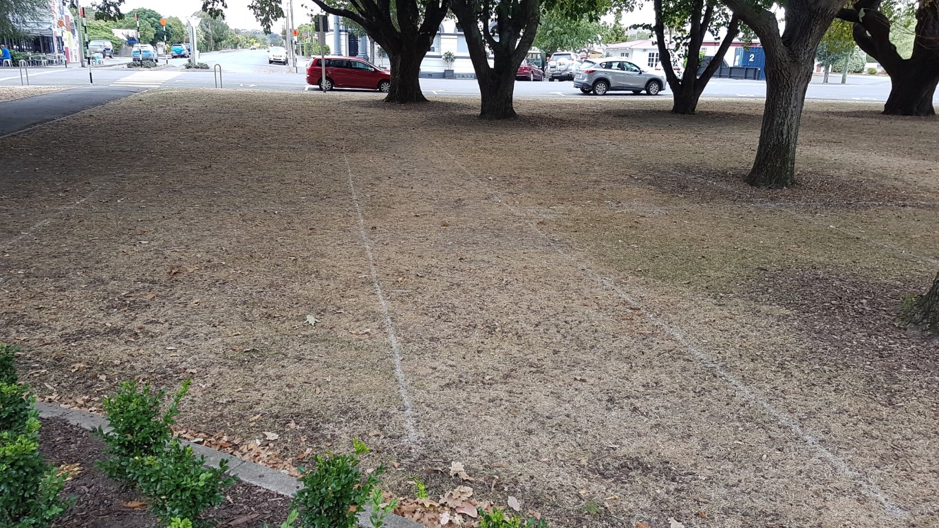
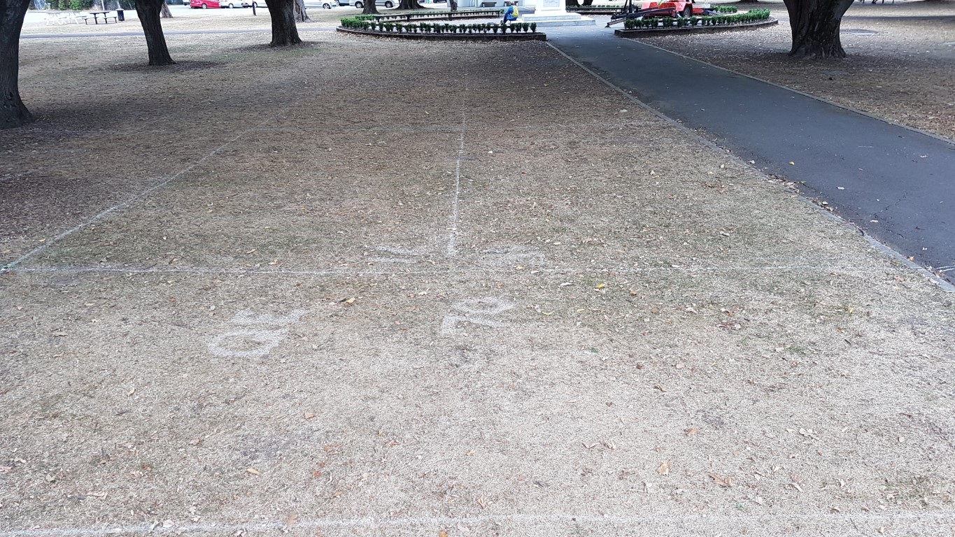
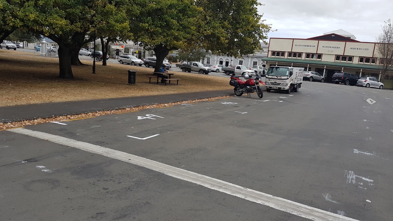
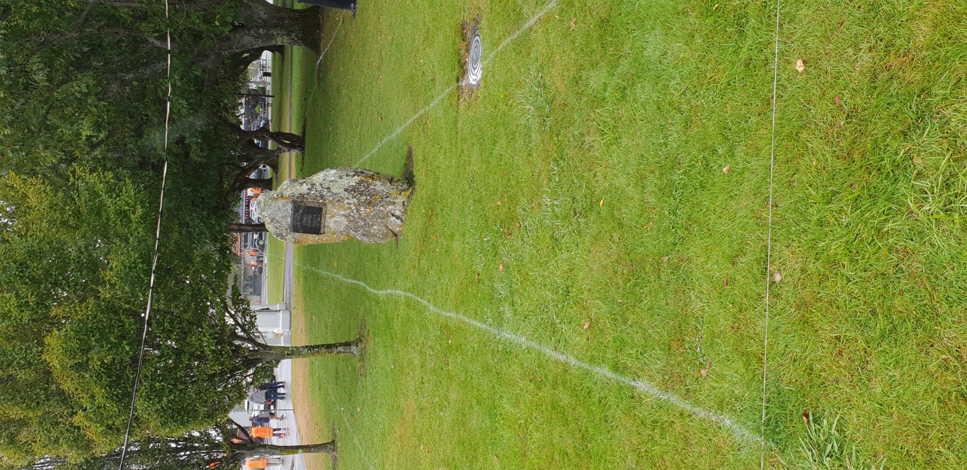
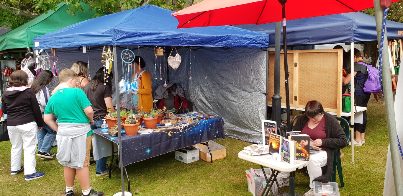
Marking out the fair ground

https://www.martinboroughfair.org.nz/fair-information/stallholder-information/fair-layout-and-maps-2#sigProId681d517bb8
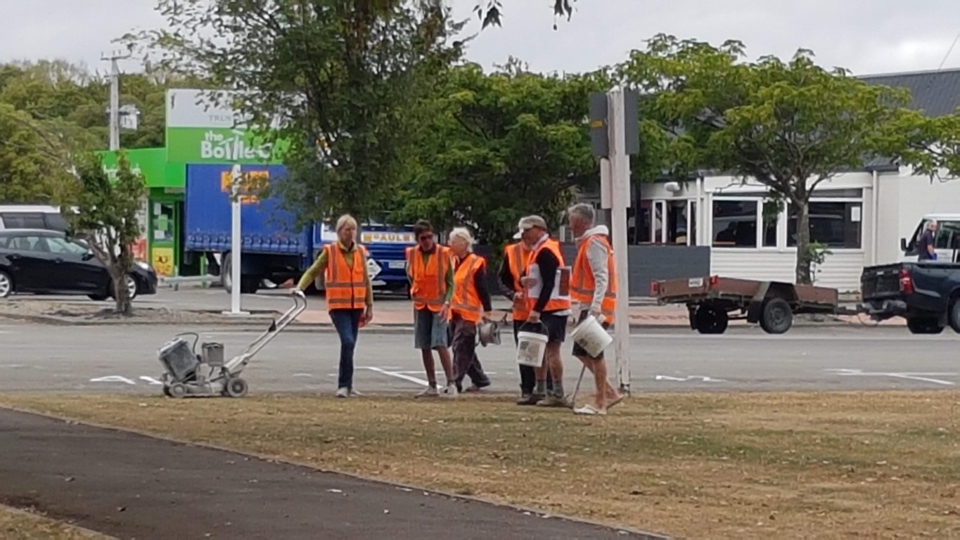
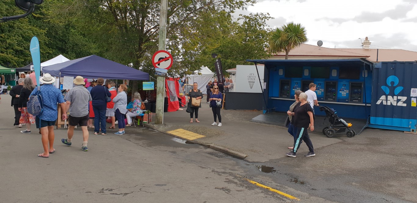
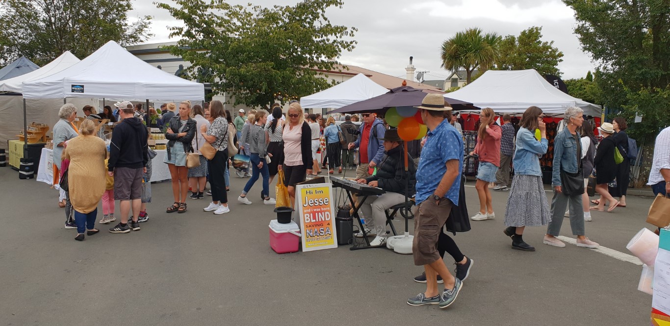
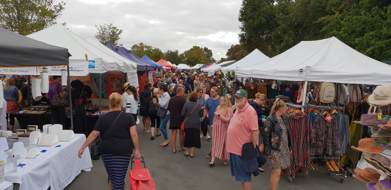
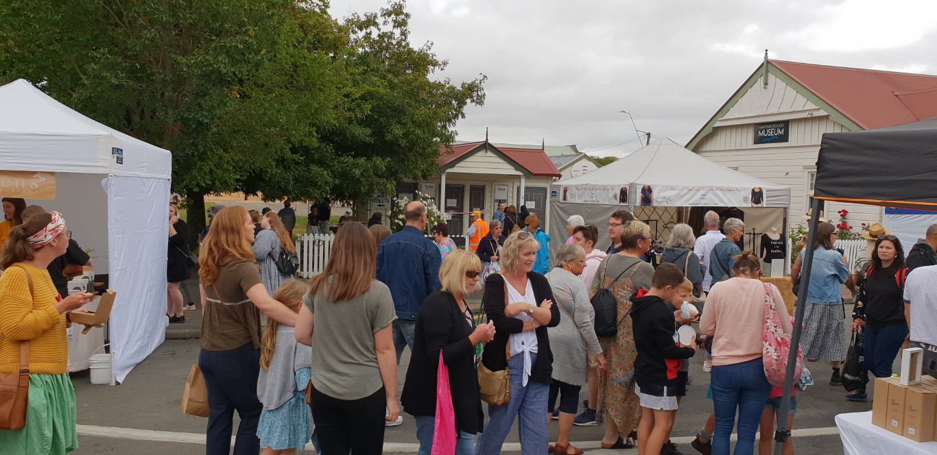
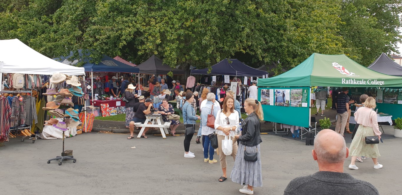
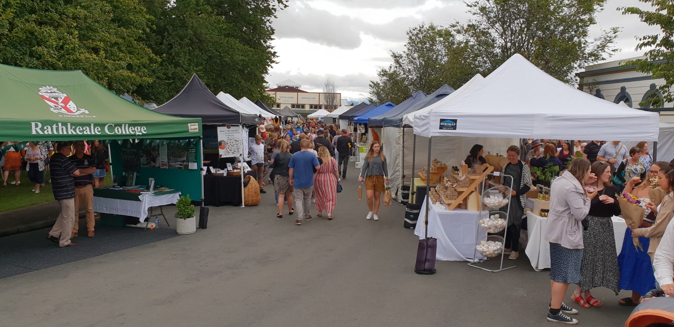
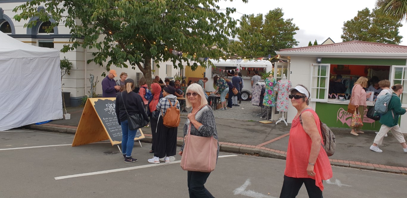
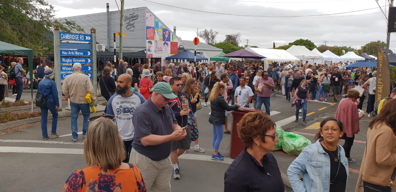
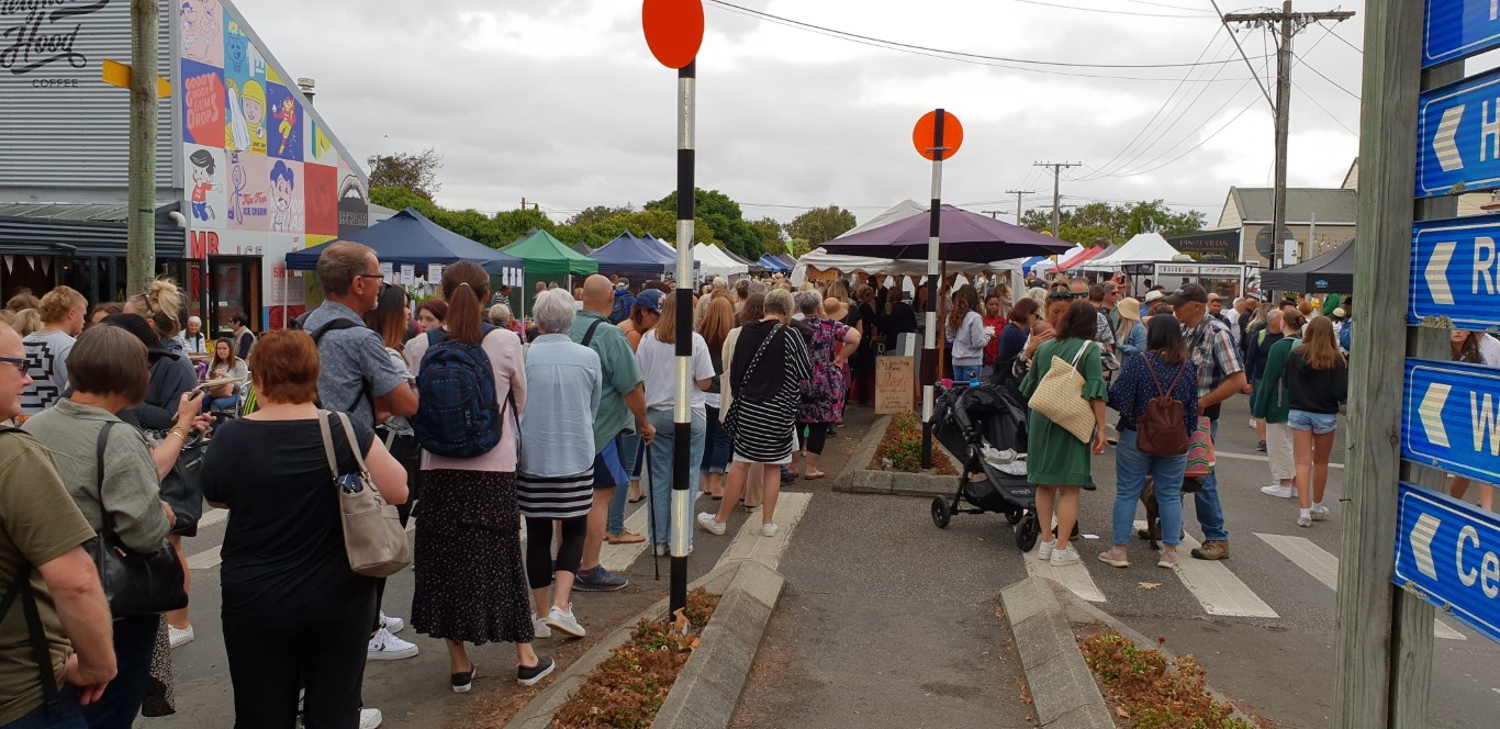
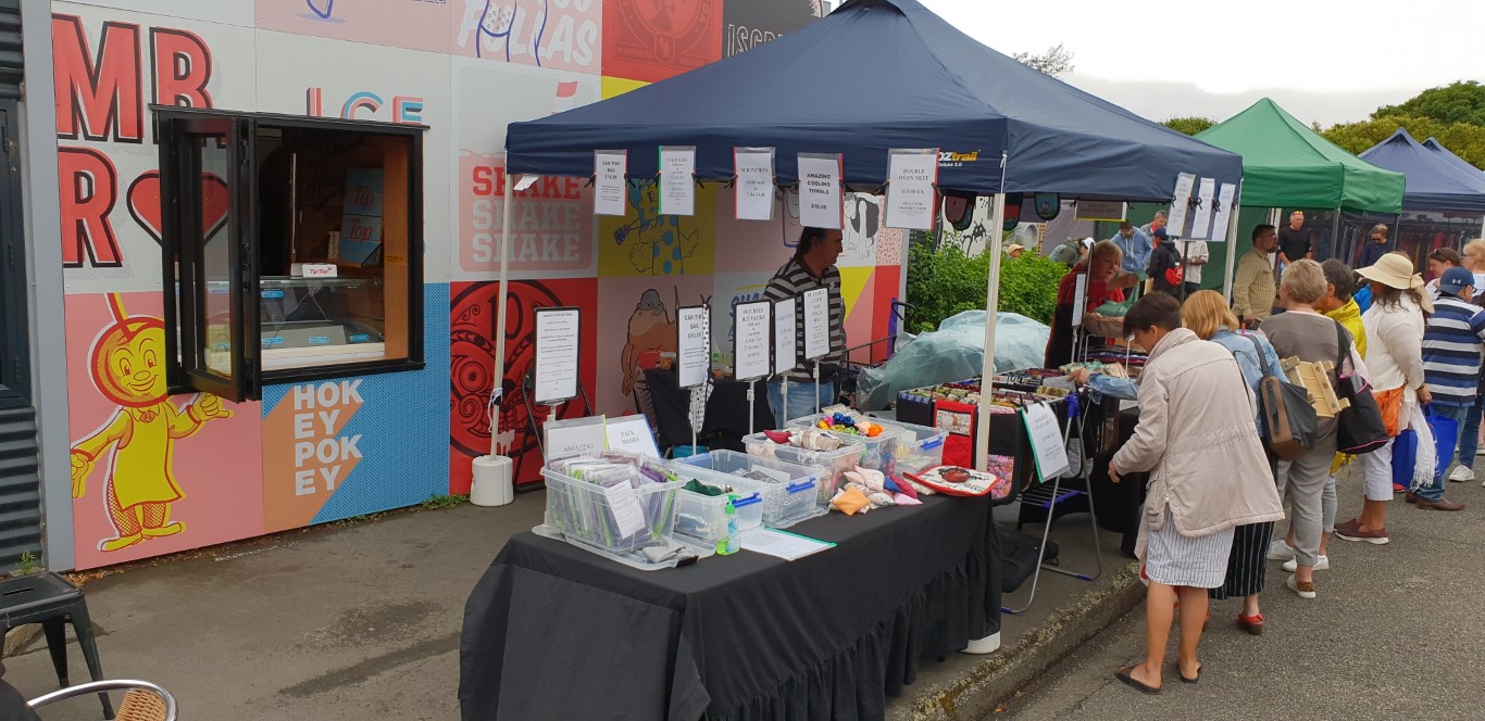
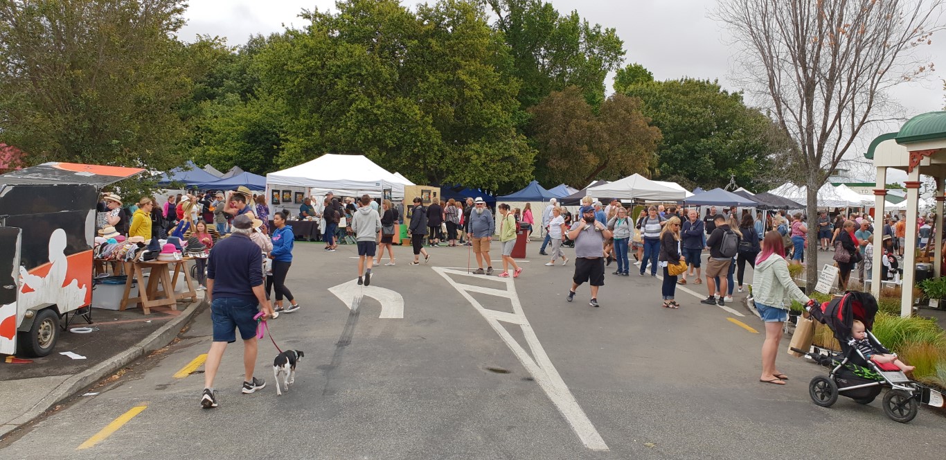
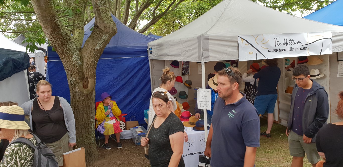
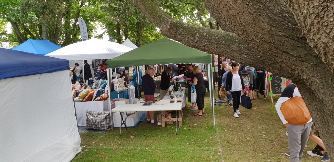
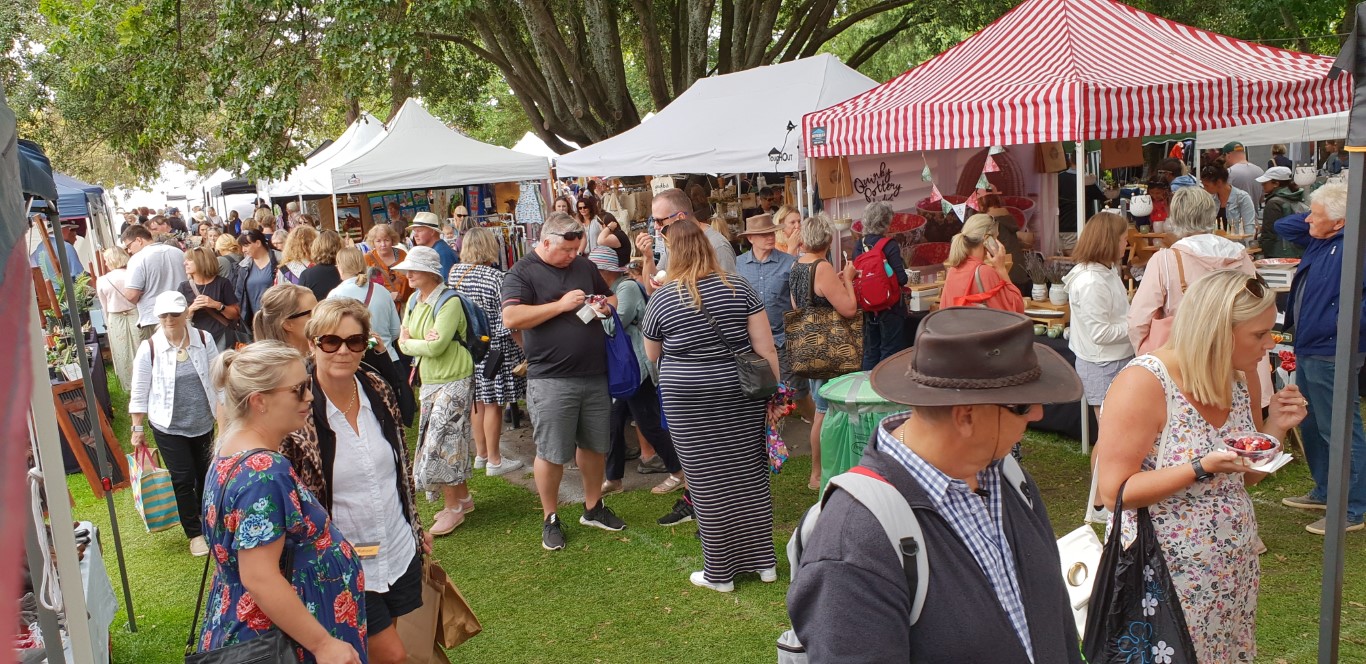
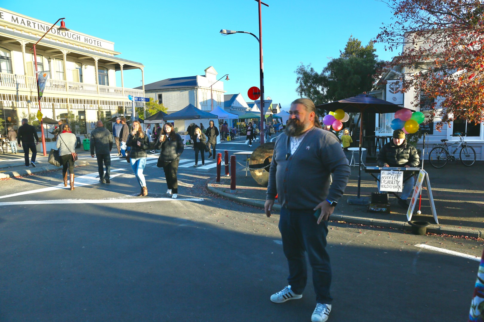
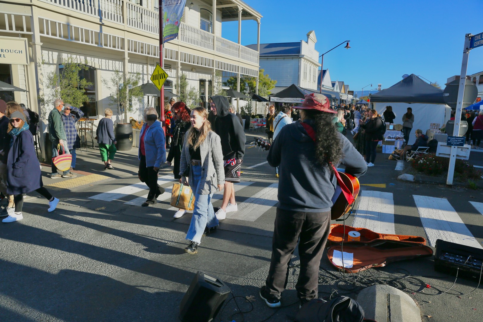
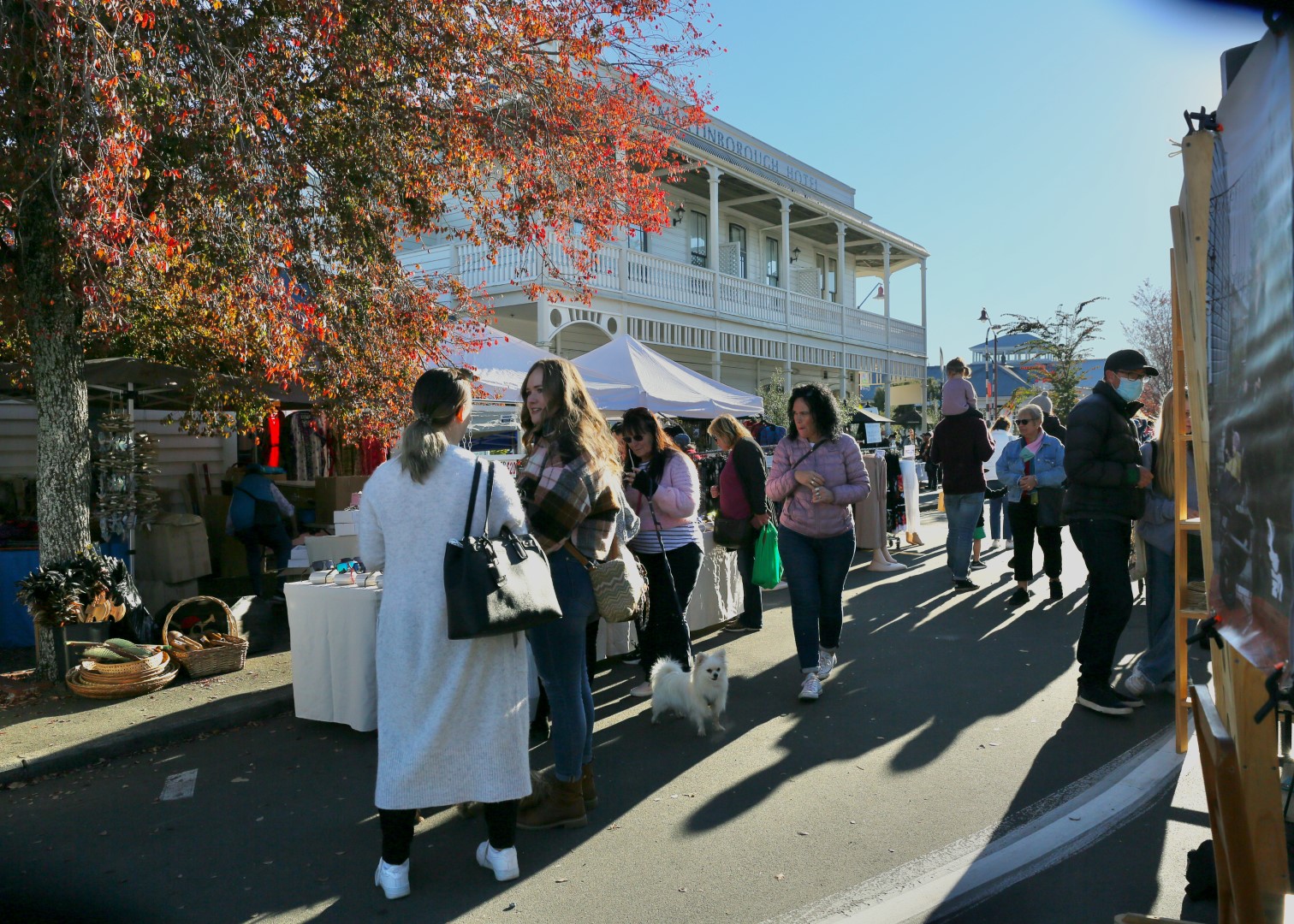
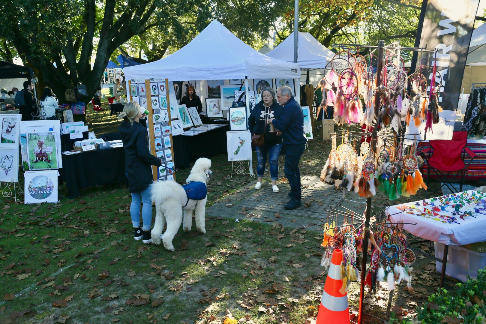
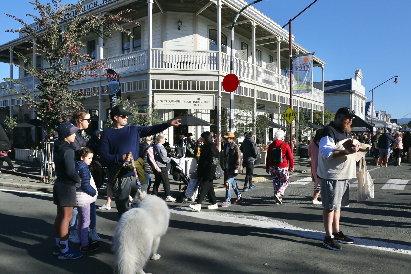
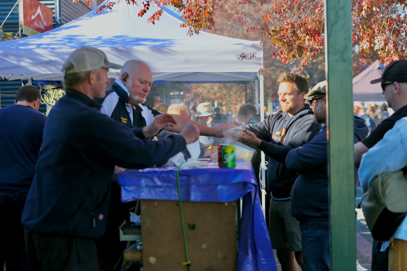
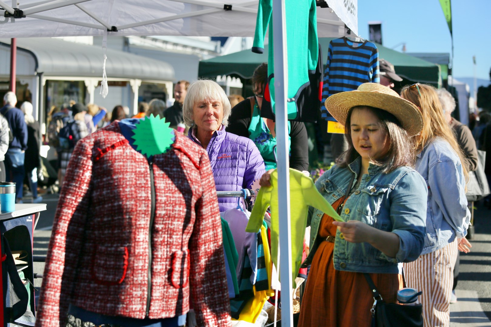
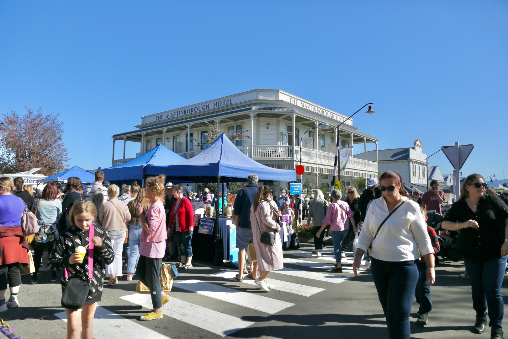
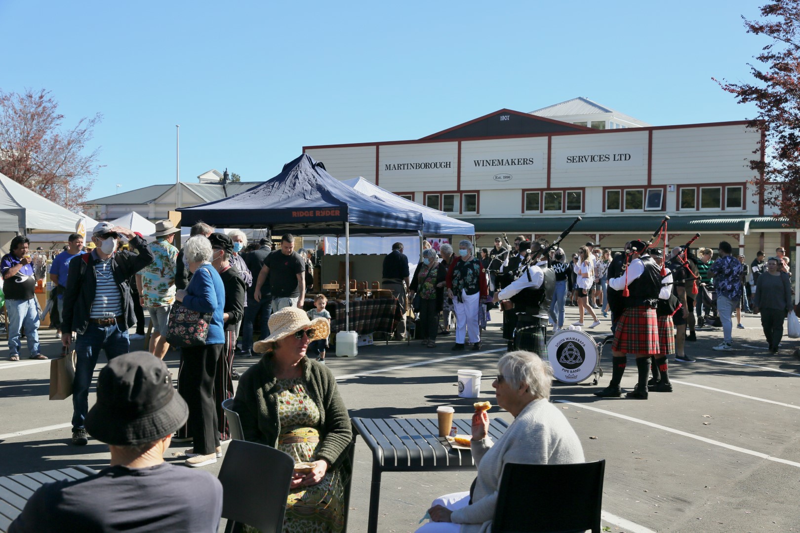
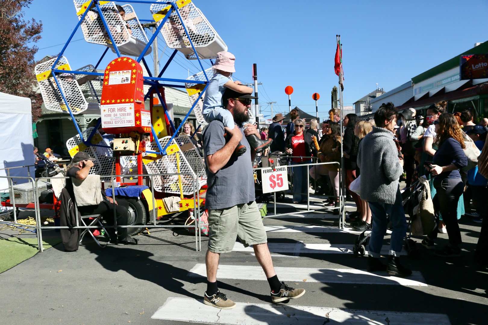
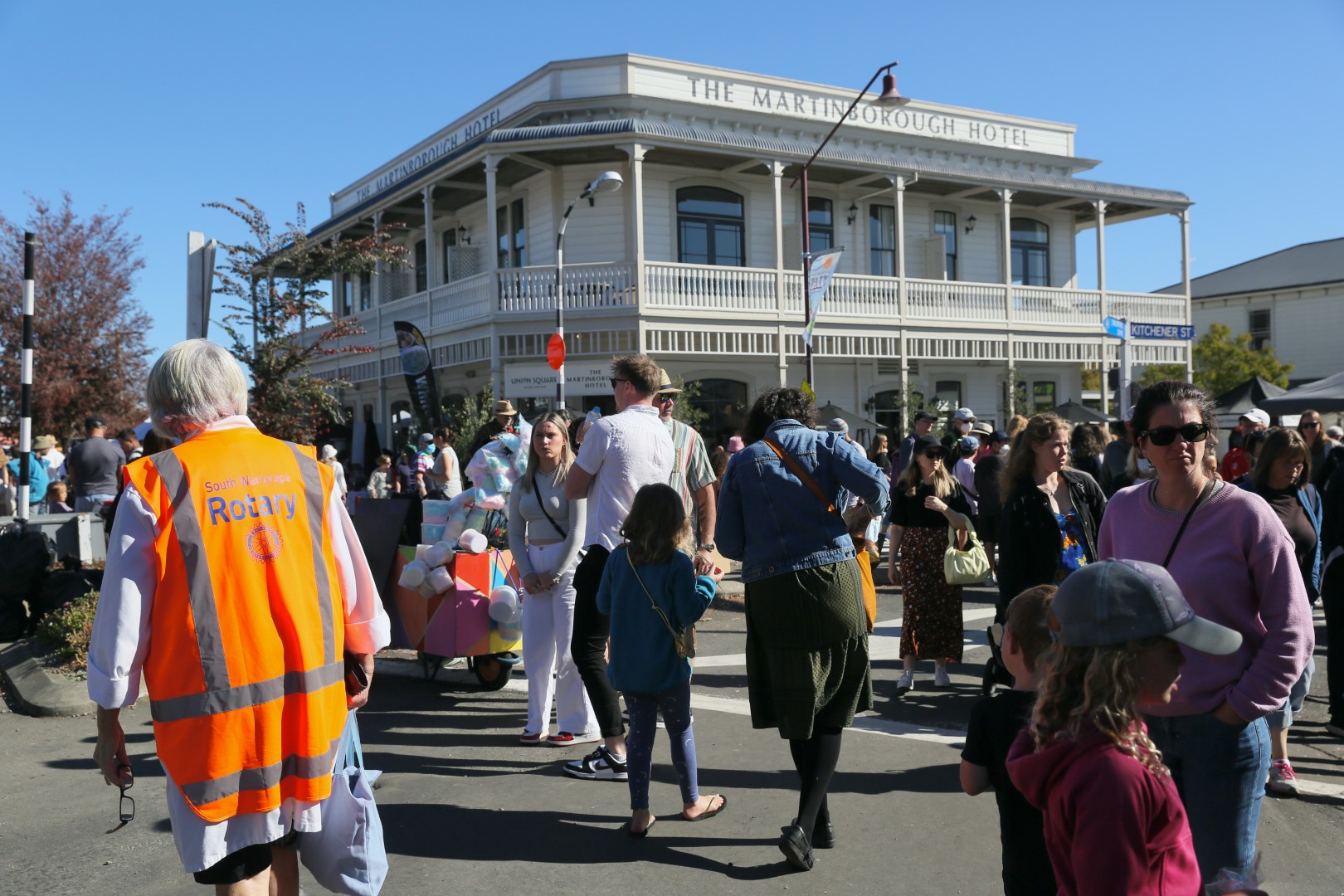
Around the market on Fair Day


https://www.martinboroughfair.org.nz/fair-information/stallholder-information/fair-layout-and-maps-2#sigProId1d2513061d